Tuesday, October 5, 2010

Day 71 - (09/27) San Diego, CA ... day 3

Today was a time for visiting favorite places when Dick lived here.  We went to Imperial Beach, drove the Silver Strand to Coronado, crossed the bay on the Coronado Bay Bridge, took Harbor Drive and Rosecrans Blvd. to Mission Bay, through Pacific Beach and up the coast to La Jolla.


Imperial Beach is the most southwestern city in the contiguous US.  A stop here finished a "triple most" for this trip ... most northwestern point in the contiguous US (in Washington). most western point in the contiguous US (on the Lost Coast in California), and most southwestern city.


Imperial Beach 
View of Mexico and Tijuana from
National Wildlife Refuge south of Imperial Beach
Surf along Imperial Beach
 This was a great day to drive along the ocean.  Temperatures exceeded 100 degrees inland.  It's 20 degrees cooler on the Silver Strand.


Silver Strand beach looking toward Coronado
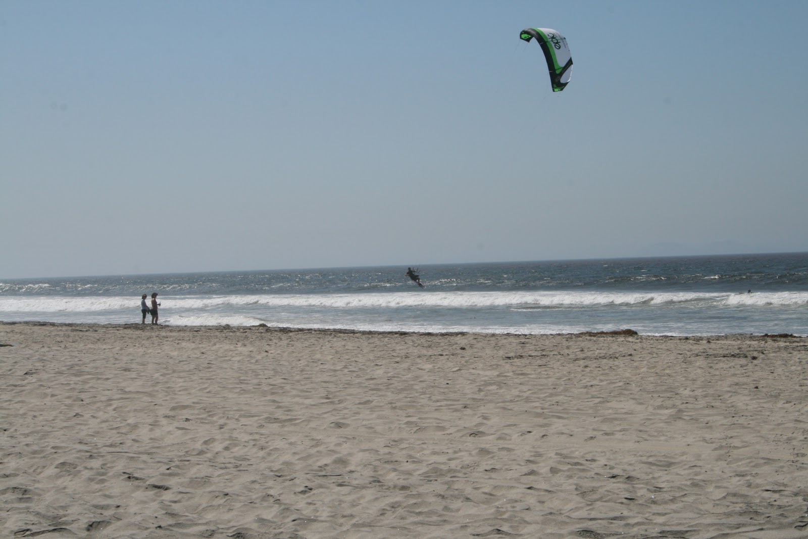
This kiteboarder entertained us with
continual runs up and down the shore
 We spent much of the day revisiting La Jolla memories.
Dick lived in this apartment on two occasions
(7621 Eads Ave.)
Dick lived in this apartment before moving to Columbus
 We walked along Pearl and Prospect Streets, and had our favorite lunch at Alphonso's of La Jolla ... cheese enchilada, chicken/vegetable soup and a margarita.  Lunch was as delicious as remembered.  


Next, we visited the La Jolla Cove and Seal Beach.


Pier at Seal Beach
Coast near Seal Beach
Carol on Seal Beach pier
And, yes indeed the seals were there


We finished our La Jolla visit with a stop at Sammy's Woodfired Pizza on Pearl Street.  Their "Messy Sundae" was just the afternoon treat we needed.
Sammy's Messy Sundae
(Note: served with two spoons)
Today was filled with many memories to keep and to share.  


We did laundry and updated the blog after returning to the park.


Map Tracks
None for today.

Monday, October 4, 2010

Day 70 - (09/26) San Diego, CA ... day 2

We had a quiet morning and met Chuck and Liz Tripp for lunch at noon.


Chuck and Dick worked together at FASPAC in San Diego.  Chuck and Liz are retired and seem to be doing it quite well.  They took us to C Level ... a restaurant on San Diego Bay.  Lunch was delicious and the scenery was breathtaking.


We're right on the water at C Level Restaurant


We said goodbye to the Tripp's at 3:30, rested a little, then drove to Carlsbad for dinner with Cheryl Patchet.  Cheryl and Dick worked together at FASPAC for many years.  Cheryl's home is located next to the La Costa Golf Resort.  She gets a front-row seat to watch PGA tournaments.

Cheryl fixed a lovely dinner and shared the recipe with Carol.  We had a great time talking about old times and old friends.

Dick and Cheryl Patchet
Chery's cat - Monk


We got back to the trailer at 9pm.  It was a wonderful day and a great treat to visit with such dear friends.


Map Tracks
None for today.

Day 69 - (09/25) San Diego, CA ... day 1

We planned to travel CA-1 to its end at I-5 near San Juan Capistrano today.  We left Ventura and followed CA-1 along the coast through Oxnard and Malibu to Santa Monica.  Bike traffic was very heavy, so we gave up on the plan at Santa Monica and switched to I-10 rather than risk an accident.. 


We visited with Nick Witchey and his family in the afternoon.  Nick is from Shelby and a big part of our family story.  We were able to visit Nick and his wife Masami in Portland when their first child Luna was born ... and we got to meet their second daughter Rei for the first time today.  We had a great time reminiscing and went to dinner at Mandarin Terrace.
Dick, Nick, Carol, Masami
Rei, Luna
After dinner at Mandarin Terrace
Luna - age 7
Rei - age 2 1/2
The day was beautiful and sunny.  The temperature reached 101 degrees in Laguna Hills at 3pm.


The trip to San Diego was familiar to Dick, but a bit stressful.  We left the Witchey's after 7pm ... it was dark.  We arrived at a nice campground in La Mesa at 9pm ... and it was still dark.  Go figure.


Map Tracks
Start:  Ventura Beach RV Resort - Ventura, CA
South in CA-1 to I-10 at Santa Monica
East on I-10 to I-5
South on I-5 to Alicia Parkway (Laguna Hills)
South on I-5 from Laguna Hills to I-8 at San Diego
East on I-8 to 30th Street in La Mesa
End:  197 miles @ San Diego RV Resort - La Mesa, CA

Tuesday, September 28, 2010

Day 68 - (09/24) Ventura, CA

Today was a full day.  We began with tour #2 of Hearst Castle, then drove south to Ventura.


We connected the trailer and drove to the Hearst Castle Information Center for a tour starting at 10:20.  All guests are transported from the Information Center to the Castle (5 miles) by bus.
Ocean view from Hearst tour bus


The Castle evolved over 28 years (1919 to 1947).  The tour left us with an impression of gross extravagance.  However, the pictures below show part of a creation that will never be duplicated.  
Neptune Pool
One of three guest houses (Casa del Monte?)
Entrance to Casa Grande
The grounds are carefully groomed
Mt. Hearst's bedroom - 1 of 56 in the castle
Mr. Hearst's office - Gothic study
Hand carved teak cornice
Casa Grande Roman Pool


The drive south took us through Morrow Bay, San Luis Obispo, passed Vandenberg AFB at Lompoc, Santa Barbara, and on to Ventura.  State parks along the ocean are packed.  There aren't many private RV parks in this part of the state.  

We stayed at Ventura Beach RV Resort.  It's a very nice park within walking distance of the beach.
Site #? - Ventura Beach RV Resort
We had an early dinner at Jack in the Box in Lompoc.  Carol had a Sirloin Cheeseburger; Dick had an Ultimate Cheeseburger.  Both were very good, but not good for us.


Map Tracks
Start:  Hearst San Simeon State Park - San Simeon, CA
South on CA-1 and US-101 to Ventura
End: 189 miles @ Ventura Beach RV Resort - Ventura, CA

Monday, September 27, 2010

Day 67 - (09/23) San Simeon, CA

We left the campground at 10:30 and headed for CA-1 and Big Sur.


Travel south of Carmel was pretty slow.  It took about an hour to go 35 miles.  This is without a doubt the most striking coastal area we've been in.  We don't know how to describe the magnificence we saw through words or pictures, but here are a few pictures.  
CA-1 south of Carmel
Looking north along CA-1
Looking south along CA-1 toward Big Sur
Point Sur Naval Facility
(Just north of Big Sur)


This part of CA-1 travel had few services we could use.  There isn't much space to build them and there isn't much space for RVs when they do.  We were able to stop at The Whale-watcher's Cafe in Gorda.  Here we discovered the significant costs associated with services in a remote area (hamburger $13.95, soft drink $3.75, regular unleaded gas $4.90/gal.).
Englebert tries to make high prices more palatable
(We didn't ask his last name, but it's probably not Humperdinck)
Highway past Ragged Point descends toward the ocean


We found a great campsite at the Hearst San Simeon State Park.  The site has no water or electric service, but it's convenient to Hearst Castle (4 miles south of the castle).
Site #4 - San Simeon Creek Campground


We set-up the trailer, then did some exploring.  Our first stop was at the Hearst Castle Information Center to select a tour and purchase tickets.  We got a view of the castle high on the hill.  We'll see it up close at 10:20am tomorrow.
Hearst Castle in the distance
We drove a few miles further north to the Piedras Blancas Elephant Seal Rookery.  The information displays were interesting, the seals weren't.


Elephant Seal info - part 1
Elephant Seal info - part 2
Elephant Seals ... doing absolutely nothing


We returned to the campground and had a light dinner.  We try to conserve trailer battery power, so we played Bananagram by flashlight.  

Map Tracks
Start:  Laguna Seca Campground - Salinas, CA
West on CA-68 to CA-1 at Monterey
South on CA-1 to San Simeon, CA
End: 109 miles @ San Simeon Creek Campground - San Simeon, CA

Day 66 - (09/22) Monterey, CA ... day 2

Today is "17 Mile Day".  We took the 17 mile scenic drive around the Monterey peninsula.  There are four entrance/exit points, the daily entrance fee is $9.50 per car, the route includes: coast scenes, historic points, golf courses, seals, birds, and some of the most beautiful homes we've seen.


We drove through Cannery Row before starting the 17 mile drive.  The streets have become very touristy thanks, in part, to John Steinbeck.
Canneries along Monterey Bay
Monterey Bay Aquarium on Cannery Row
Fishing boat off Point Cabrillo
(Ocean View Blvd.)
Surfers wait for "good waves"
(Asilomar State Beach)
Surf at Asilomar State Beach
Golfer tees off on Point Joe at Monterey Peninsula Country Club
(lots of balls get pretty wet here)
One of many gorgeous homes along Fan Shell Beach
Swirling water at Sunset Point
The Lone Cypress
(over 200 years old, official symbol of Pebble Beach)
We were here, but Tiger wasn't
We left the drive briefly at Carmel by the Sea.  Carmel is a serious, high-class community.  Though we were clearly out of our element, we had a wonderful lunch at a French/Italian restaurant (Le St Tropez) and found the  fudge store/candy shop we had visited 10 years ago.  


The Cottage of Sweets has been in the same place, with the same owner, for 29 years.  Carol was taken by their fudge 10 years ago and loved this batch as well.  The owner let us know that Clint Eastwood had been in the store, but didn't buy any for himself because he was "watching his weight".
1 1/2 pounds of "Vitamin C" in the bag
We headed back to the trailer around 4pm and had a quiet evening.


Map Tracks
None for the day.